 |
~ Welcome ~
We hope you like the new interface for looking at our weather maps.
The content hasn’t changed, only the presentation.
Now it is easier to navigate to all the information we provide,
so you may discover something new while browsing around!
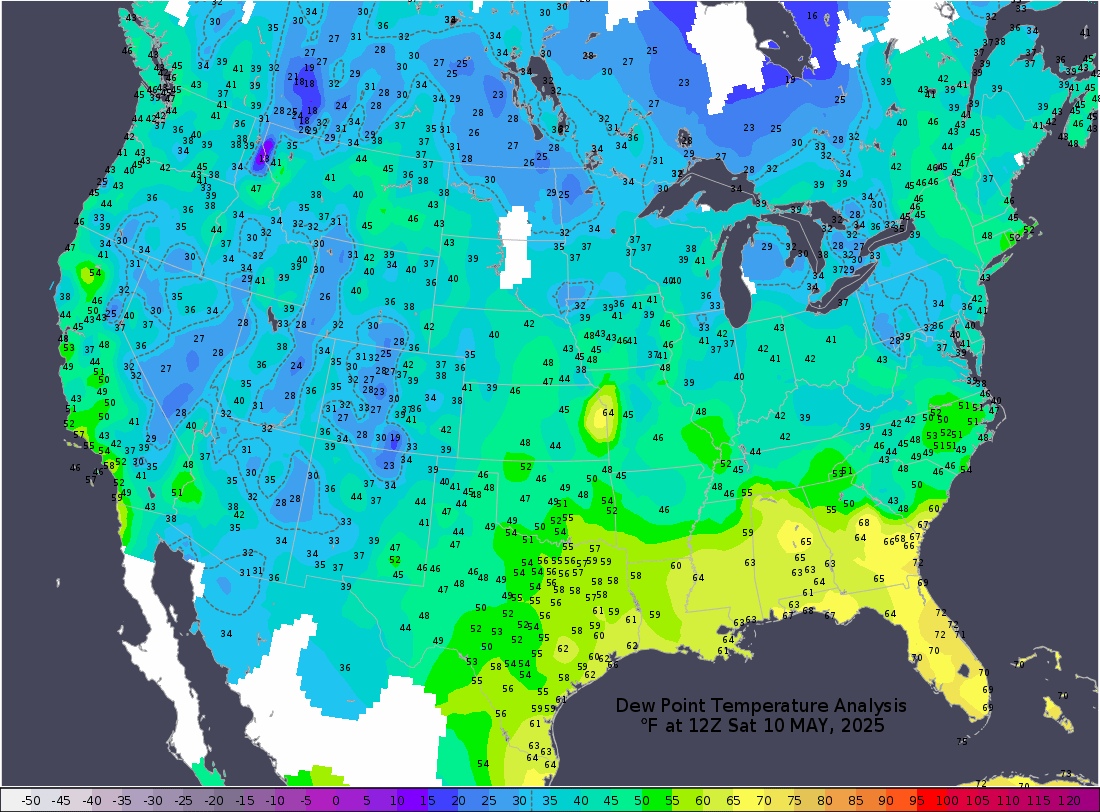
Latest Surface Temperature Analysis
|

All the graphics on this site were created with GrADS. The maps were recently redesigned to showcase the enhanced graphics capabilities in GrADS, including the use of fonts, pattern filling, anti-aliasing, and semi-transparent colors.
Official Disclaimer: COLA makes no guarantees about and bears no responsibility or liability concerning the accuracy or timeliness of the images being published on these web pages. All images are generated by COLA and do not represent the actual forecasts issued by the National Weather Service. These products are not a substitute for official forecasts and are not guaranteed to be complete or timely. The underlying data are the direct product of the various operational forecast models run by the National Centers for Environmental Prediction, National Weather Service, NOAA and are presented without correction.
Comments to: jadams21 at gmu dot edu